Impacts of a warming climate on China’s ten water zones
Array
(
    [code] => 200
    [status] => success
    [message] => success
    [cover] => https://img.videocc.net/uimage/1/16b1f803c0/first_image/0882f9b5-64b7-459a-abad-6d9c81d8a999_b.jpg
    [sd] => https://mpv.videocc.net/16b1f803c0/7/16b1f803c016d98bc234f022e9048187_1.mp4
    [hd] => https://mpv.videocc.net/16b1f803c0/7/16b1f803c016d98bc234f022e9048187_2.mp4
    [uhd] => https://mpv.videocc.net/16b1f803c0/7/16b1f803c016d98bc234f022e9048187_3.mp4
    [des] => Video Editor: T Zhou
CC BY-ND 4.0
    [width] => 1080
    [height] => 1080
    [vid] => 16b1f803c016d98bc234f022e9048187_1
    [title] => Guan et al 2021
    [duration] => 00:01:02
)
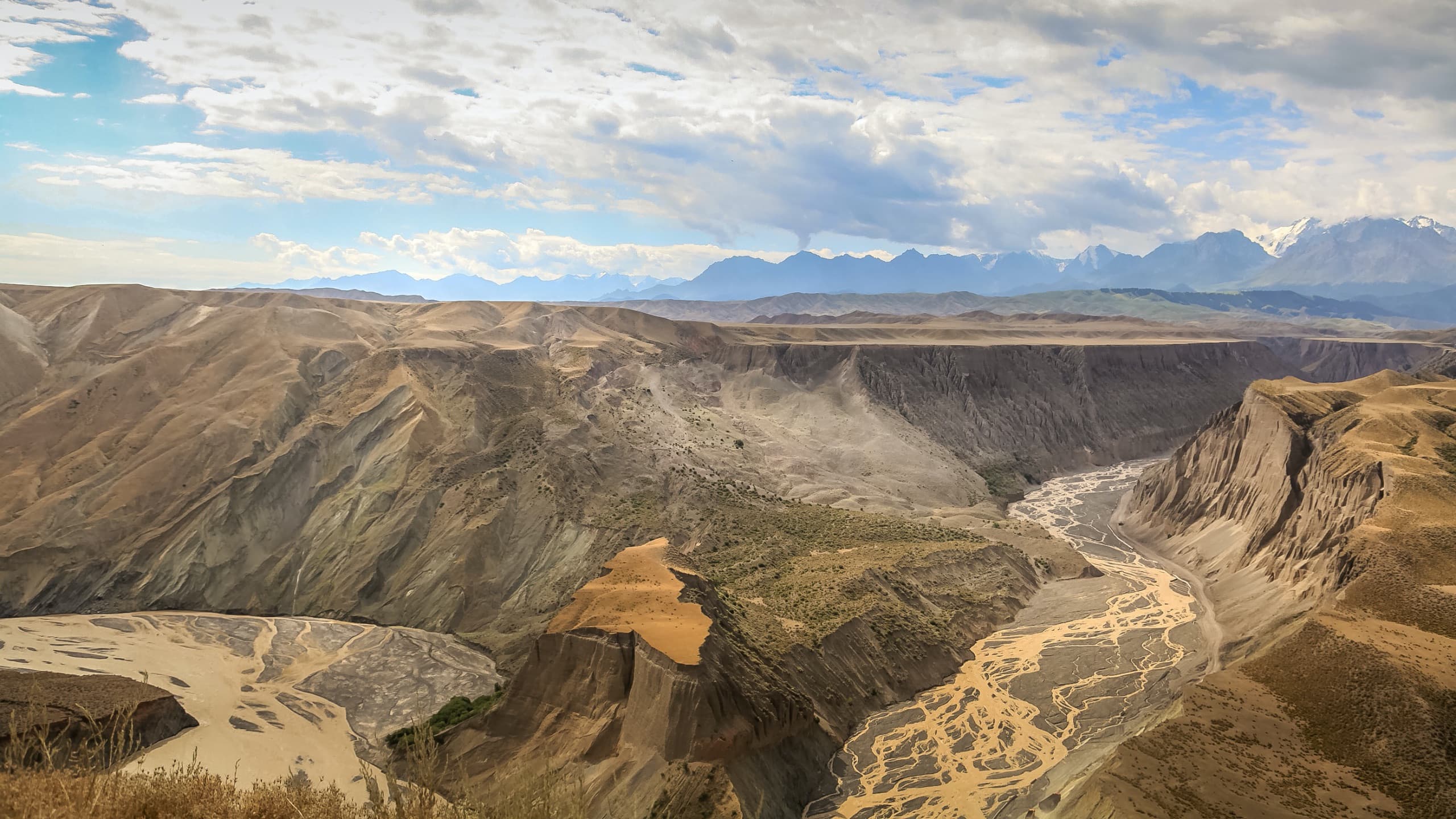
Under global changes including a warming climate and rapid urbanisation, understanding the past and projecting the future in climate and hydrology is of practical importance for ensuring water security and improving overall resilience. In terms of water resources, the mainland China is usually divided into ten water zones. These include seven large river basins, the Yangtze, the Yellow, Songhuajiang, Liaohe, Haihe, Huaihe and the Pearl, and another three regions in southeast, southwest and northwest China. Each of the ten water zones has distinct features in climate and geography, but all of them are facing uncertainties in water management in the future.
Guan et al (2021) analysed the temperature, precipitation and evapotranspiration in these water zones for the last 60 years. They also projected future changes in temperature, precipitation, evapotranspiration and runoff with the climate elasticity method under three Shared Socioeconomic Pathways (SSPs) on the basis of 9 Coupled Model Intercomparison Project Phase 6 (CMIP6) climate model ensemble simulations.
Their results show that the northern water zones of China are under heavy influence of human activities and drastically lost more than 20% of their runoff during the 1980s and 1990s. The drop was particularly significant in the Haihe River basin, where around 60% of the runoff disappeared. Trends of changes in the southern zones were not evident, and were mainly due to natural variabilities and regional climate change.
Under three SSPs, temperature in all ten water zones are going to rise markedly in this century. Though precipitation is expected to be on an upward trend, evapotranspiration is also projected to increase due to higher temperatures. More precipitation in the northern zones will generate more runoff, which should to a certain extend ease water stress in these regions. However, because of intensive human activities, these regions would still face challenges in their water security. In the southern zones, changes in runoff because of more precipitation could potentially be offset by increased evapotranspiration. However, more rain usually leads to higher risks of localised flooding.
Full paper
- Guan, X., Zhang, J., Bao, Z., Liu, C., Jin, J. and Wang, G. (2021) ‘Past variations and future projection of runoff in typical basins in 10 water zones, China.’, The Science of the Total Environment, 798, p. 149277. doi: 10.1016/j.scitotenv.2021.149277.